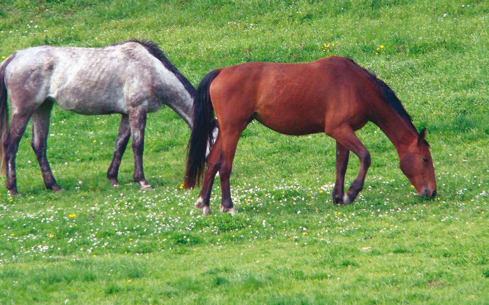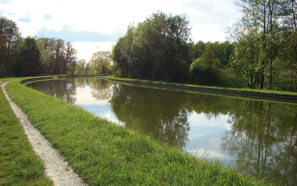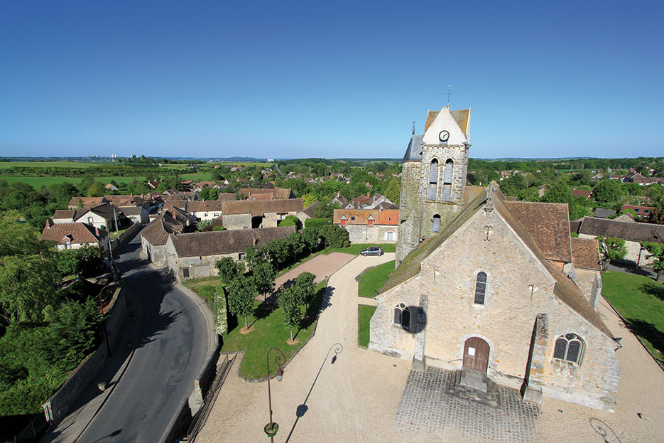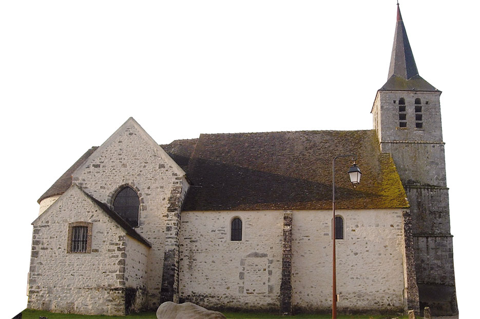
Villecerf
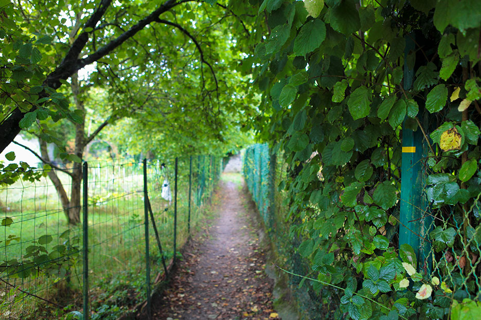
A TRAVERS LE MAQUIS DE ROYS


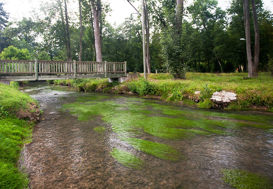
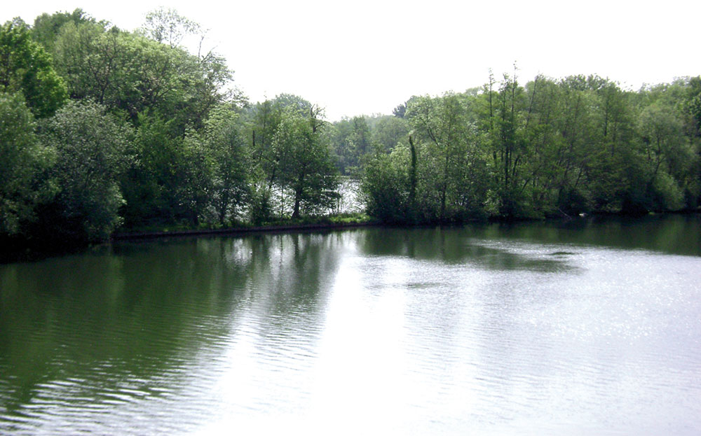
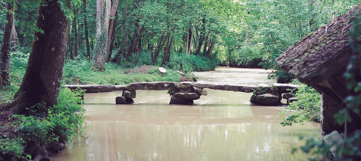
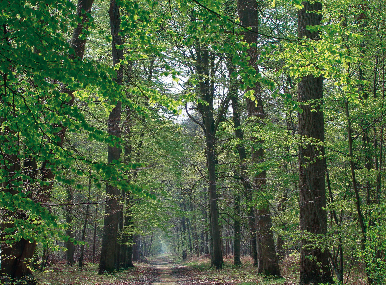
YOU WILL FIND 16 LOOP TRAILS IN MORET SEINE& LOING, ALL OFFERING OPPORTUNITIES TO EXPLORE THIS AREA THAT IS IDEAL FOR A STROLL OR BRISK HIKE.
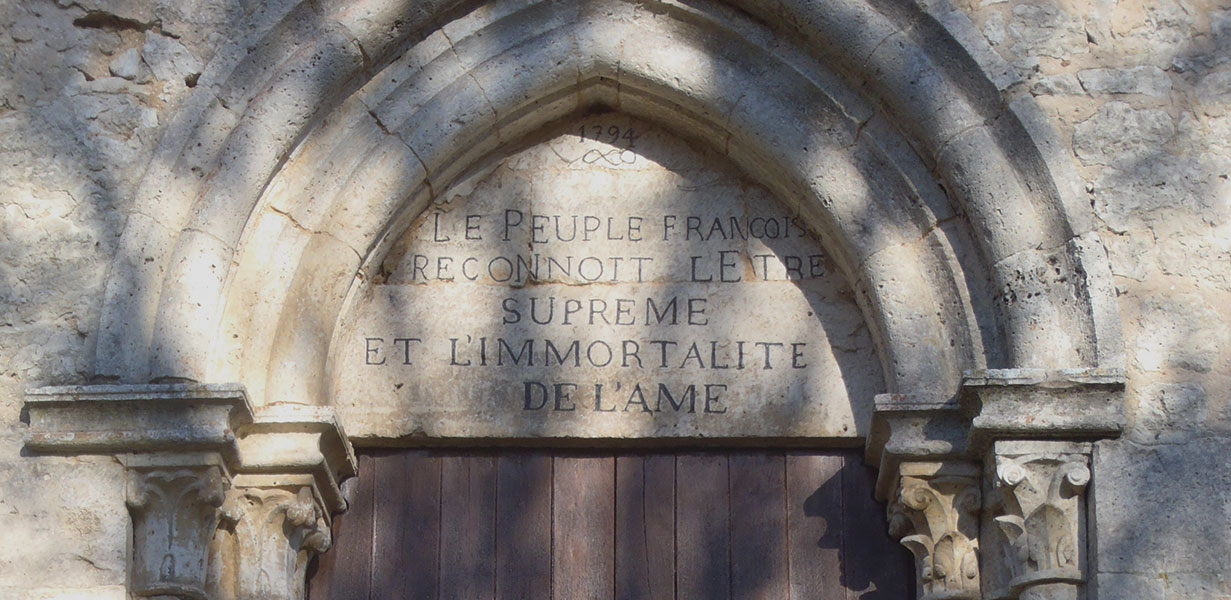
The 16 trails, with descriptive (Les venelles de Veneux – The alleyways of Veneux) or more imaginative names (L’être suprême en terre romaine – The supreme being in Roman lands), offer round walks of 7 to 19 km, suitable for all levels and interests. Practical sheets presenting these routes are available below.
If you would like to explore these 200 km of paths, pick up the free Moret Seine& Loing hiking route map available at the Tourist Office or downloadable here, which is full of essential information that will come in handy before you set off and on the trail.
The map shows the location and routes of the MSL paths, as well as the main hiking trails (GR®, GRP®, PR) nearby.
On the back of the map, for each path, you will find a summary of key information (distance, estimated time, altitude difference and signs to follow), as well as car parks and recommended starting points, sites of interest to see and visit along the way, and a brief presentation of the route.
All of this information will help you find routes that match your interests, physical condition and available time: an à la carte menu to choose from!
Signs have been placed along the way to show the route and help you get your bearings: The 200 km of paths are fully marked out, including information boards, and you will find a detailed map of the route at the start.
Available to downloadfor free at the App Store and Google Play store.
BOUGEOTT
Discover the appBougeott, developed bythe Île-de-France region.
It provides personalisedwalks, combiningexercise with discoveryof cultural and natural heritage.
BALADE BRANCHÉE
Choose a route,download it and have funexploring Île-de-France’snatural and culturalheritage. With audio,photo and video contentthat is automaticallytriggered nearnoteworthy spots, youcan enjoy nature while remaining in control.
BALAD’NATURE
discover forests,protected natural areasand heritage in Seine-et- Marne.
CIRKWI
free community portalthat indicates hikingroutes, interesting things to see and viewpoints
CLÉS DE FORÊT
With quiz, investigation and secret modes, this fun app released by the ONF (French National Forestry Office) helps beginners identify trees and animals. Download before you go. Once you’re in the forest, you won’t need a mobile data
connection, as all thefeatures and content are accessible offline.
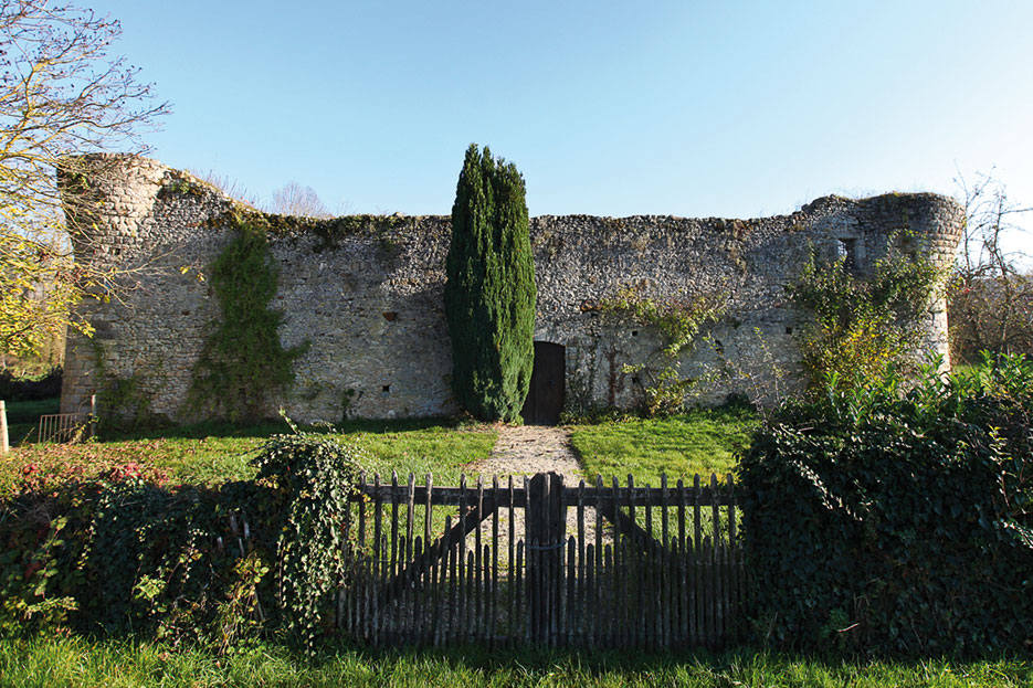
There are also three routes to discover with no need for a guide. Download the routes at the Seine-et- Marne department’s website (www.seine-et-marne. fr) or ask for them at the Tourist Office:
You can also buy one of the topographic guides co-published with the Fédération française de randonnée (French hiking
federation) at the Tourist Office.
‘Au Confluent de la Seine, de l’Yonne, et du Loing… à pied ’ includes 30 routes for walks and short hikes (2 hr 10 min to 4 hr 45 min), as well as three routes from station to station (4 hr 30 min to 6 hr 30 min).
Because it can sometimes be a bit scary setting off to discover a forest or unknown place alone, you can join a group for a walk and benefit from local guides and their knowledge!
Moret Seine & Loing regularly organises gentle walks for groups, as well as hiking-related events. The events La Printanière and La Patrimoine, held each year between March and September, include a number of routes suitable for all levels, as well as many themed activities, offering chances to learn about biodiversity, geology, heritage, flavours of the terroir and more...
Walking clubs and associations (Rando Seine & Loing, Nordic walking club) also offer a variety of outings all year round, as well as shorter “gentle hikes” to enjoy walking at your own pace. They welcome visitors passing through with open arms.
Don’t hesitate to contact the Tourist Office for further information and to find a walk or hike for you!

In the field, amenities have been made to materialize the routes and to facilitate your orientation: 200 kilometers of fully marked trails and information boards, with a detailed map of the circuit.


All of Moret Seine & Loing Tourist Office team is at your disposal.