

BATELLERIE ET FORÊT
Hiking trails / Easy /Batellerie et forêt
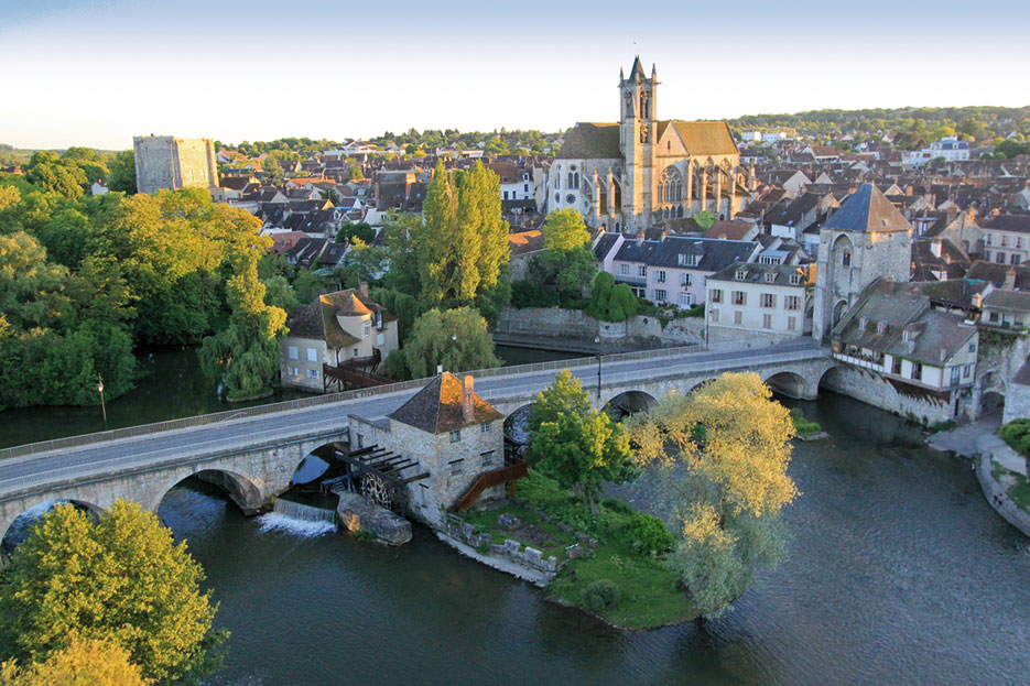
The development of the village of Saint-Mammès, located at the confluence of the Seine and the Loing, was closely linked to the growth of the inland waterway industry and this, from the opening of the Loing canal in 1726. It is therefore at the a petty world that the commune owes its present physiognomy, very atypical. Discover this particular universe along a route that will take you between river, river, canal, river stop and locks, in the cool undergrowth and boatmen gardens.
USEFUL INFORMATION:
TRAIL DETAILS
Departure
Grand Jardin car park, rue de Prugnat
City
Moret-Loing-et-Orvanne [Moret]
Length (km)
9
Duration.
3h
Difficulty level
easy
markup color
yellow
Arrival
loop
Height difference
50m
Click to download detailed sheet :
TO SEE / TO DO NEARBY
In Moret-sur-Loing :
The bicycle museum.
In Saint-Mammès :
The pre-Roman church,
the lock house,
the old lock,
the "Sisley" and "Mariner's World" walks.
LABELS

Trace gpx
Download gpx track
Contact us
All of Moret Seine & Loing Tourist Office team is at your disposal.