

DU CANAL DU LOING AUX BERGES DU LUNAIN
Hiking trails / Average /Du canal du Loing aux berges du Lunain
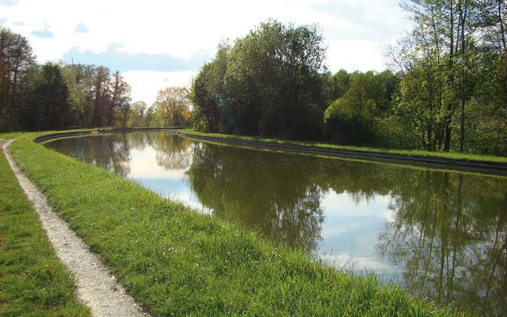
Water is the breadcrumb trail of this route, which will take you through fields and woods, towpaths of the Loing canal dug for navigation in the eighteenth century, to the falls at Episy where the Loing and Lunain, passing by the pond of Villeron
USEFUL INFORMATION:
TRAIL DETAILS
Departure
town hall
City
La Genevraye
Length (km)
17.8
Duration.
4h30
Difficulty level
average
markup color
blue
Arrival
loop
Height difference
90m
Click to download detailed sheet :
TO SEE / TO DO NEARBY
In Episy :
The Church Saint Pierre aux Liens,
The Lunain Falls,
The Loing Canal.
In La Genevraye :
The pottery of La Genevraye,
The garden city of Cugny,
The castle of Pleignes.
LABELS

Trace gpx
Download gpx track
Contact us
All of Moret Seine & Loing Tourist Office team is at your disposal.