

EN BASSE VALLÉE DU LUNAIN
Hiking trails / Hard /En basse vallée du Lunain
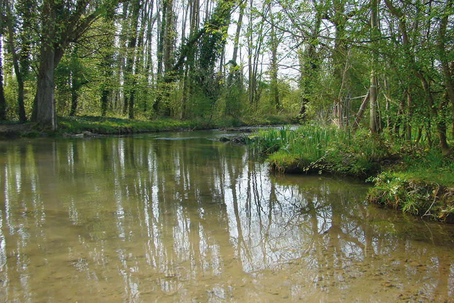
This trail makes a wide loop around the town. It will take you through fields in typical landscapes of the Bocage Gâtinais, where the wide variety of soils, cultures and the omnipresence of woodlands offer a constantly renewed landscape, between shadow and light. You will also discover the valley of the Low Lunain and its gently sloping slopes, sometimes wooded, grazed or cultivated.
USEFUL INFORMATION:
TRAIL DETAILS
Departure
festival hall
City
Villemer
Length (km)
19,5
Duration.
5h
Difficulty level
hard
markup color
yellow
Arrival
loop
Height difference
143m
Click to download detailed sheet :
TO SEE / TO DO NEARBY
In La Genevraye :
The pottery of La Genevraye,
The garden city of Cugny.
In Villemer :
The Church of Our Lady of the Assumption and Saint Andrew,
The pond of Villeron,
The natural communal educational space of Rebours.
LABELS

Trace gpx
Download gpx track
Contact us
All of Moret Seine & Loing Tourist Office team is at your disposal.