

BALADE AUTOUR D’ANONVILLA
Hiking trails / Average /Balade autour d’Anonvilla
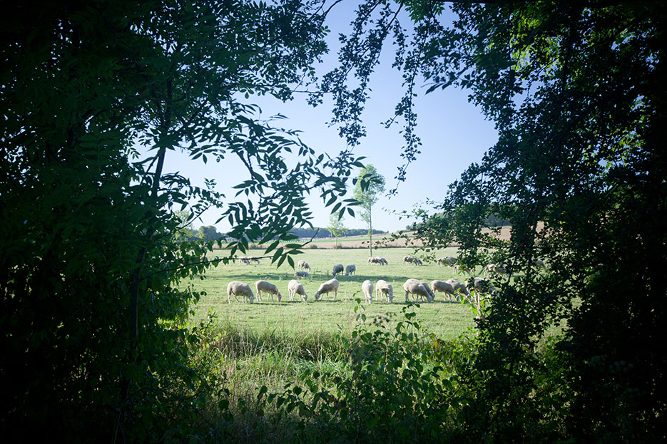
Discover Nonville, a village that appears in the writings from the dawn of the 2nd millennium, under the name of Anonvilla. Funny name for a small town that hides behind his toponymic modesty of many assets: castle, mill, church, farms production or gathering and a circus arts festival .... Along this route, you will walk through meadows, woodlands and cross the Lunain, whose course is often jealously hidden by lush vegetation, before taking the streets of the village center. Having derived its wealth from its basement, thanks to its quarries of white stones, Nonville proposes a typical architecture of Gâtinais
USEFUL INFORMATION:
TRAIL DETAILS
Departure
Festival hall car park
City
Nonville
Length (km)
13.2
Duration.
3h15
Difficulty level
medium
markup color
yellow
Arrival
loop
Height difference
90m
Click to download detailed sheet :
TO SEE / TO DO NEARBY
In Nonville :
Saint-Michel church,
the edges of the Lunain,
the laundry of the hamlet of Landy.
Saint-Michel church,
the edges of the Lunain,
the laundry of the hamlet of Landy.

Contact us
All of Moret Seine & Loing Tourist Office team is at your disposal.