

LE LUNAIN HISTORIQUE
Hiking trails / Average /Le lunain historique
Between Paley, Villemaréchal and Nanteau-sur-Lunain, stroll through the hilly landscapes of the Bocage Gâtinais and the Lunain Valley. If you take this path in winter or after the harvest you can admire, near the hamlet of Ortures, the menhir of Pierre-Fitte erected in full field and classified Historical Monument since 1889.
USEFUL INFORMATION:
TRAIL DETAILS
Departure
Church
City
Paley
Length in km
16.5
Duration
4h
Difficulty
average
Markup color
yellow
Arrival
loop
Height difference
195m
Click to download detailed sheet :
TO SEE / TO DO NEARBY
In Paley :
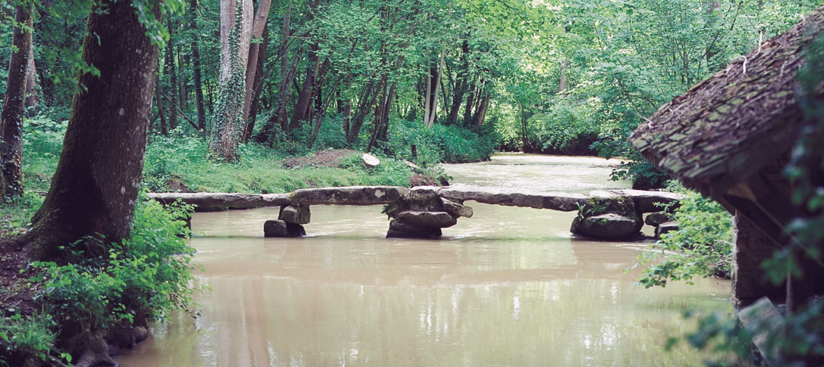
Saint-Georges chhurch, the Pont Thierry (bridge), a Merovingian sarcophagus, the castle (XII - XVth).
In Nanteau-sur-Lunain :
The menhir of Pierre-Fitte
LABELS

Trace gpx
Download gpx track
Contact us
All of Moret Seine & Loing Tourist Office team is at your disposal.