

L'EAU, LE FER, LA PIERRE
It is from the heights of the city that you will take a look at the three founding elements of Champagne sur Seine: the waters of the Seine and the Bass des Godernes pond; the iron of the electro-mechanical constructions (the boom of Champagne being linked to the installation in 1903 of the Schneider factory); finally the white millstone stone, of local extraction, omnipresent in the Champagne buildings.
USEFUL INFORMATION:
TRAIL DETAILS
TO SEE / TO DO NEARBY
In Champagne sur Seine :
Churhs (Notre-Dame, Saint-François d’Assise),
The Russian chapel,
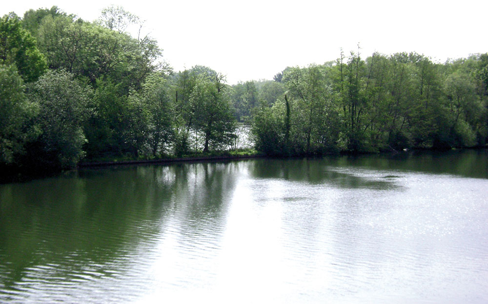
The natural sensible area «Les Basses Godernes».
In Vernou-La Celle sur Seine :
Saint Pierre aux liens church, L’ENS
The natural sensible area "Le Tuf de la Celle",
Saint-Fortuné fountain,
Graville castle.
LABELS

Trace gpx
Download gpx track
Contact us
All of Moret Seine & Loing Tourist Office team is at your disposal.